Two new paid features—“Bigeye Tuna Map” and “Storm Map”—have been added to the ocean condition information app “OEView.” The app provides forecast data for up to three days ahead, including sea surface temperature and current speed, along with observational data.
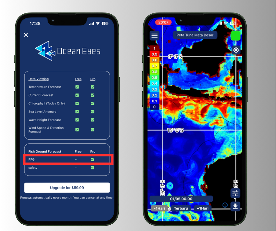
The “Bigeye Tuna Map” is a decision-support feature that highlights ocean areas where fish are likely to aggregate and where fishing activities are considered to have high potential value. By using this feature, users can further improve operational efficiency based on the data available in the free version. Currently, the “Bigeye Tuna Map” is available in selected areas of the Southern Hemisphere.
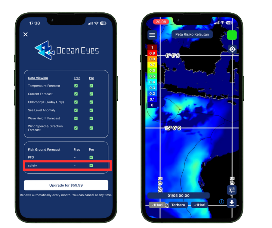
The “Storm Map” visualizes areas requiring caution and high-risk regions on the map based on ocean condition data such as wind, waves, and currents. By allowing users to identify areas that should be avoided before departure, the feature supports safer decision-making for fishing operations and navigation, with safety as the top priority.
By combining these services and delivering continuously updated ocean condition information, we aim to enhance convenience for fisheries professionals while contributing to more efficient and safer marine activities. Through “OEView,” Ocean Eyes will continue to further expand and enhance its services.
“OEView” is available for download from the app stores.
● For iPhone users: App Store
● For Android users: Google Play